
Finding San Francisco Residents Along a Street
A useful street directory search starts with the full situs address and ends with a comparison of sources. PIM is the first stop because it resolves spelling, parcel boundaries, and the assessor block and lot. The assessment roll or counter can add a title-linked owner and mailing address. The Recorder Public Index can then identify a grantor, grantee, lien, or deed connected to that parcel. Historical occupancy clues come from voter registrations obtained for an approved purpose, reverse directories, census schedules, and permits. Each source answers a narrower question than the phrase “who lives here” suggests.
- Enter the address in PIM, select the matched site, and save the canonical situs, block, lot, and APN.
- Open the map and walk the street segment by enabling parcel, block, and address layers; click adjacent polygons to compare reports.
- Obtain owner evidence from the assessment roll, counter, or data product, keeping the mailing address separate from the situs.
- Search the Recorder Public Index by party name, APN, date, or document number, then follow the deed or lien fields.
- Use an approved voter-file route and the San Francisco library’s reverse or criss-cross collections for historical listed occupants.
The result is an address trail. It can support property, title, building, and historical research, but it does not turn a San Francisco street into a public roster of every person in every unit.
San Francisco Property Information Map by Address
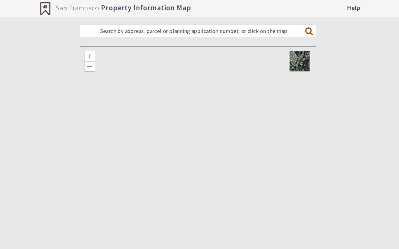
The Planning Department’s Property Information Map is the named address gateway for San Francisco. Search by address, parcel, or planning application number, or click the map. Block and lot may be entered with or without a hyphen. After selecting the matched site, the report can connect the situs to zoning, environmental and historic designations, planning applications, building and other permits, complaints, appeals, district geography, and parcel history.
Its report controls are practical for a street walkthrough. Search and Property tabs anchor the parcel. Zoning, Environmental, and Historic Preservation explain the setting. Planning Applications, Building and Other Permits, Complaints, Appeals, and BBNs and NSRs expose address-linked activity. The Map tab and layers show parcels, blocks, addresses, census tracts, city properties, schools, supervisor districts, year built, ZIP codes, and preservation surveys. Use EagleView, Measure Distance, and Map Legend for orientation, then choose the map and categories in Printable Report.
| PIM field or control | Type | What it does |
|---|---|---|
| Address, parcel, or planning application number | Autocomplete or map click | Finds a matched site; block/lot is accepted with or without a hyphen |
| Report tabs | Tabs | Property, zoning, environmental, historic, applications, permits, complaints, appeals, and map |
| Map tools | Buttons | EagleView, Measure Distance, and Map Legend |
| Printable Report | Checkboxes | Chooses the map and report categories for printing |
The official PIM search shows how a San Francisco address enters a street directory workflow.
Street Parcels Through San Francisco PIM
PIM’s value grows when several adjoining parcels are compared. Search the target address, zoom to the polygon, turn on Parcels, Blocks, and Addresses, and click the next parcel along the segment. Save the APN, year-built field, neighborhood, ZIP, district, permit, and complaint context for each selected report. There is no documented public radius or buffer export of residents, so a careful block walk means repeating the parcel selection rather than downloading a people list.
This map layer also helps resolve a common mismatch. A postal line, historic street name, and legal description can describe the same place in different ways. The parcel and block-lot key can be carried into the assessment roll, Treasurer and Tax Collector property route, Recorder index, and DBI inquiry. A PIM Assessor Summary is not a public owner-name field. Current ownership is obtained from the assessment roll or counter, where mailing and situs addresses may differ.
Address key. Preserve the canonical situs and APN before following a street name through another source. The parcel identifier is safer when a name, ZIP, or historic street label changes.
San Francisco Street Records by Address
The sources in a San Francisco street directory have distinct custodians and limits. A property record can identify a titled owner. A permit can name an applicant or contractor. A deed can show a transfer party. A historical directory can show a listed adult. The table keeps those roles distinct while showing how the address ties the chain together.
| Record set | Keeper | Address view | Access channel |
|---|---|---|---|
| PIM parcel report | SF Planning | Situs, APN, parcels, districts, permits, complaints | Free address, APN, or map search |
| Assessment roll | Assessor-Recorder | Owner, assessed values, exemptions, mailing and situs | Room 190 counter or paid data request |
| Recorded documents | Assessor-Recorder | Grantor, grantee, date, APN, legal description, liens | Free index 1990-present; older counter or microfilm |
| DBI permits and complaints | Department of Building Inspection | Work, dates, status, contacts, inspections, address history | Online inquiry, DataSF, records form, email, or counter |
| Voter file | California SOS and SF Elections | Residences and precinct information in approved data | Own-record tool or purpose-limited request |
| Reverse directories | SFPL and SF History Center | Historical address-to-listed-occupant clues | Print, microfilm, online, or onsite research |
Block and lot bridge the first four rows. The street label helps find the address, but the APN, deed legal description, and document number are the better evidence keys. For the historical shelf and how entries are read, use the San Francisco city directory collections rather than rebuilding that research here.
San Francisco Deeds Along One Street
The Recorder Public Index reaches 1990-present online. Search by document type, filing code or group, last, first, and middle name, party type, event date range, document number, APN, book and page, or address fields. A result can show the party role, document date and number, page count, APN, correction or reference indicators, and a copy link. Use a current owner as a grantee, read the purchase deed, record the grantor and APN, then search that grantor as an earlier grantee. Repeat until the online boundary or the evidence ends.
For records before 1990, the practical fallback is City Hall Room 190, public terminals, microfilm, microfiche, deed indexes, older deed books, and the SF History Center. The Recorder’s mail form asks for requester contact information, recording date, document number or reel/image, certified-copy choice, copies, and payment. The office’s current recorded-document mail schedule lists $9.70 for the first page, $.39 for each additional page, $5 for the first map page, $3 for each additional map page, and $1 for certification. Check the official form before sending money.
Grantor means the transferor and grantee means the recipient. A deed chain is a sequence of those transfers. The chain can establish title history, not every person who occupied a building. Liens, reconveyances, and deeds of trust are instruments in the index, not direct proof of a household.
Permits Add San Francisco Address History
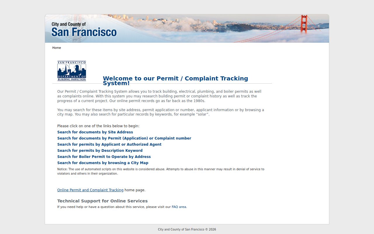
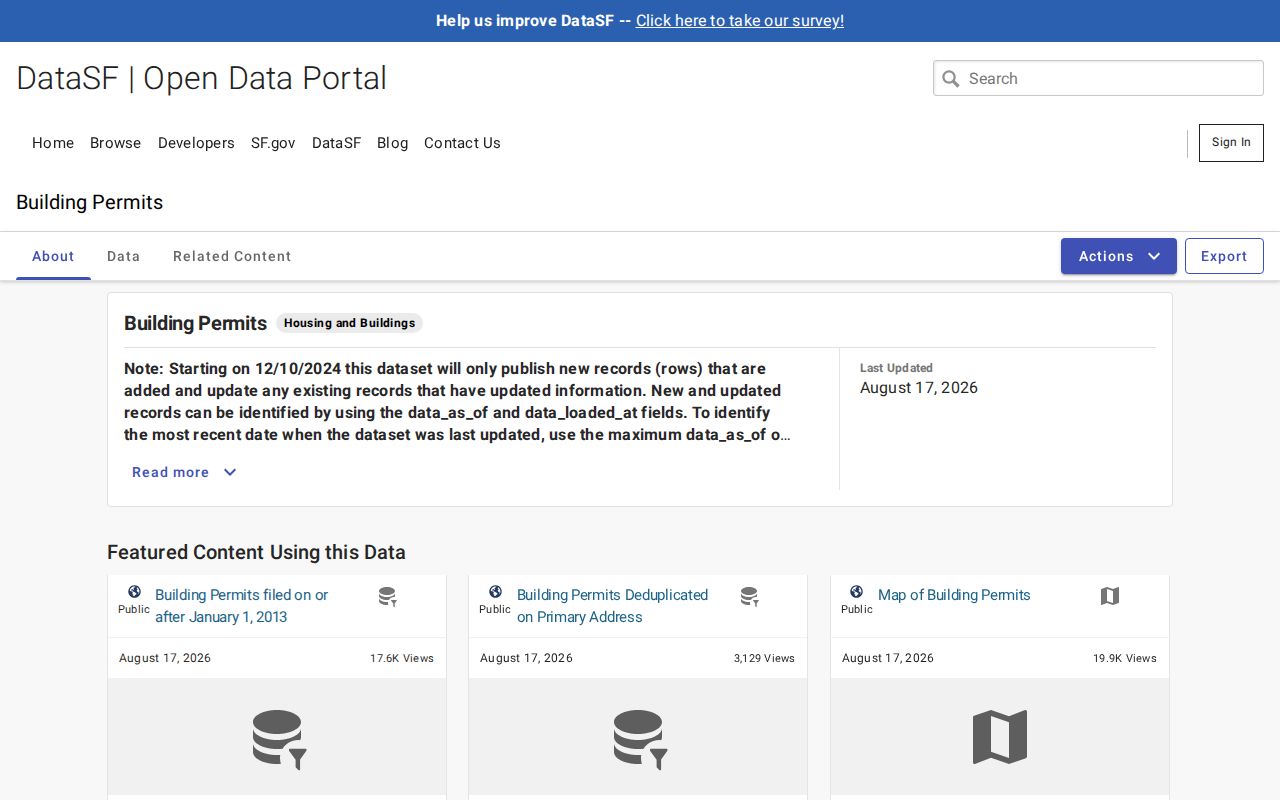
Department of Building Inspection records add a different time line to a street directory. The public inquiry can search by street number and name, block and lot, application or permit number, or complaint number. Results may show address and APN, permit type, filing, issue and completion dates, status, description, valuation, units, contacts, addenda, and inspections. The official DataSF building-permit table uploads nightly and exceeds one million rows, which can make filtering and export easier than the older inquiry.
When a summary is not enough, DBI Records Management accepts a request for job cards, inspection history, plans, violations, complaints, and certificates of final completion. The form asks for street address, unit or floor, corner-building status, alternate addresses, building type, occupancy, and applicant contact and signature. Records Management is at 49 South Van Ness Avenue, 628-652-3420, dbi.records3R@sfgov.org. A permit applicant, architect, contractor, or inspector is connected to work at an address, not automatically to residence.
San Francisco Reverse Directories and Street Lists
Historical address-first searching changes over time. San Francisco reverse directories begin in 1953, with Haines volumes from 1976-2021. Earlier tools include the 1933 San Francisco, Colma, and Daly City street list, a 1936 microfilm list, and the 1940 House and Street Directory. Telephone books run from 1899-1992 on microform and from 1921-current in print, with Library of Congress digitized volumes from 1901-1975. These sources may identify a listed occupant, subscriber, or principal adult, but they do not supply a complete household count.
The fifth-floor Magazines and Newspapers Center at SFPL has directories, phone books, newspapers, and microform scanners. The sixth-floor Koshland San Francisco History Center holds city and county archives, maps, photographs, manuscripts, clipping files, and card indexes. Ancestry Library Edition is available onsite, while HeritageQuest is available remotely with a library card and PIN. Search exact street and number, then pair a listing with a deed, census, obituary, voter registration, or permit.
Bayview Street Names Through Time
San Francisco street research has a local naming trap. Bayview and Hunters Point moved through numbered and lettered names, geographic and unusual names, a South-suffix system, and a December 1909 scheme using pioneer and famous-person names. Railroad Avenue became 3rd Street between about 1915 and 1924. A modern street search can therefore miss an older deed, directory, water tap, or permit when it relies only on today’s spelling.
Keep the legal geography with every result. Block and lot, APN, legal description, historic map, and contemporaneous jurisdiction preserve continuity when a street is renamed. San Francisco’s 1856 consolidation also matters: a pre-1856 “San Francisco County” record can concern territory that is now in San Mateo County. Do not retrofit the current city line onto an older source.
What a San Francisco Street Directory Cannot Show
No public source in the San Francisco street directory chain supplies every household member, every occupant, private utility customer, DMV address, or protected voter address. The assessment roll is title-linked. A deed is a transfer record. A permit identifies work contacts. A historical directory reflects publisher choices. Even a voter file is purpose-limited and excludes confidential voters. The difference between “associated with an address” and “lives there now” is the core privacy boundary.
California’s DPPA limits impermissible DMV disclosure and use. California’s voter rules also prohibit an unidentified set of people on a street from being treated as a specific-voter request. Safe at Home substitutes an official mailing address for qualifying participants. When a record is restricted, the right response is to stop, use a permitted custodian route, or shift to family-history and property-history evidence that does not expose protected information.
Lawful use. San Francisco address records can support personal, lawful research, genealogy, estate work, neighborhood history, and civic curiosity. Do not use them to stalk, harass, intimidate, or harm anyone.
From a San Francisco Parcel to 1906
For a long address history, begin with today’s PIM report and work backward by era. The assessment route reaches 1914-present. Recorder web metadata begins in 1990, while sampled older deed indexes include 1850-1905 and March-April 1913 with gaps. DBI permits reach 1906-present. Spring Valley Water Company tap records run from 1861 into the 1930s and are address-alphabetized; a tap can name an owner, contractor, or developer, but the date may mean construction, first occupancy, or service to an older structure. Sanborn maps run 1886-1991 and add building footprint and use.
Edwards Abstract from Records, incomplete for December 1899-1977, can join deeds, permits, sales, contracts, owners, contractors, architects, and cost. January and October 1906 block books and the May Relief Business Directory help bracket the earthquake and fire. Use the property chain for title, the directory and census layer for listed occupants, and obituaries or probate for later family links. The resulting record trail is much stronger than a single address hit.
- Situs address
- The official location label used by a parcel or map. It can differ from a mailing address.
- Parcel
- A mapped unit of land identified in the assessor system, often carried by an APN or block and lot.
- Plat
- A map or recorded description that shows how land is divided and located.
- Criss-cross directory
- An address-first directory that turns a street and number into a listed person or business for its coverage year.