
San Francisco ZIP Codes by Neighborhood
The city’s official neighborhood table maps the following residential and institutional ZIP codes. The Post Office column is intentionally address-specific: the research does not assign a named station to every code, and USPS routes can include special delivery arrangements. Use the ZIP code directory table for orientation, then verify one address through USPS before relying on it.
| ZIP | Official mapped areas | Post Office | Notes |
|---|---|---|---|
| 94102 | Hayes Valley, Tenderloin, North of Market, Civic Center | Verify by address with USPS | Central government and Civic Center geography |
| 94103 | South of Market | Verify by address with USPS | SoMa |
| 94104 | Financial District | Verify by address with USPS | Compact and business-heavy |
| 94105 | Financial District South, Embarcadero, Rincon Hill | Verify by address with USPS | Downtown waterfront edge |
| 94107 | Potrero Hill, Dogpatch | Verify by address with USPS | South-eastern neighborhood route |
| 94108 | Chinatown, Union Square | Verify by address with USPS | Historic downtown geography |
| 94109 | Tenderloin, Nob Hill, Russian Hill | Verify by address with USPS | Pine Street Station area |
| 94110 | Inner Mission, Bernal Heights | Verify by address with USPS | Mission and Bernal route |
| 94111 | Financial District, Embarcadero | Verify by address with USPS | Waterfront and downtown |
| 94112 | OMI, Excelsior, Outer Mission | Verify by address with USPS | Southern neighborhoods |
| 94114 | Castro, Noe Valley | Verify by address with USPS | Central-west neighborhoods |
| 94115 | Western Addition, Japantown, Fillmore, Pacific Heights | Verify by address with USPS | Mixed historic districts |
| 94116 | Parkside, Sunset, Forest Hill | Verify by address with USPS | South-west neighborhoods |
| 94117 | Haight/Ashbury | Verify by address with USPS | Central-west route |
| 94118 | Inner Richmond | Verify by address with USPS | Richmond neighborhood |
| 94121 | Outer Richmond | Verify by address with USPS | Coastal north-west route |
| 94122 | Inner and Outer Sunset | Verify by address with USPS | Sunset district |
| 94123 | Marina | Verify by address with USPS | North waterfront route |
| 94124 | Bayview-Hunters Point | Verify by address with USPS | Historic street-renaming cautions |
| 94127 | West Portal, St. Francis Wood, Miraloma | Verify by address with USPS | South-west hills |
| 94129 | Presidio | Verify by address with USPS | Federal enclave |
| 94130 | Treasure Island | Verify by address with USPS | Island geography |
| 94131 | Glen Park, Twin Peaks, Diamond Heights | Verify by address with USPS | Central-south hills |
| 94132 | Ingleside, Merced, Parkmerced | Verify by address with USPS | South-west urban geography |
| 94133 | Chinatown, North Beach, Pier 39 | Verify by address with USPS | North waterfront and historic core |
| 94134 | Visitacion Valley, Sunnydale | Verify by address with USPS | South-east neighborhoods |
| 94158 | Mission Bay | Verify by address with USPS | Newer delivery geography |
ZIP 94128 is not included as a San Francisco County neighborhood code. Its postal city reads San Francisco, but San Francisco International Airport lies in San Mateo County. ZIP 94188 was expanded to delivery in 2012 and is not a neighborhood code in the official city table. Treat both as special geography, not ordinary city resident categories.
ZIP 94128 Is Outside San Francisco County
94128 is the classic San Francisco ZIP false positive. Postal software may display San Francisco because the airport uses that mailing line, but the airport property is in San Mateo County. A ZIP code directory that treats the postal city as the county will send a court, property, or vital-record request to the wrong custodian. Confirm the physical parcel and governing jurisdiction instead.
For an airport address, USPS answers the mailing question. The parcel map and agency record answer land, permit, or planning questions. The consolidated San Francisco city and county has no ordinary unincorporated pockets, but federal lands and island geography still create custodian differences. Record the source’s contemporaneous boundary rather than forcing every ZIP into the city’s neighborhood map.
Special ZIP 94188 Is Not a Neighborhood
ZIP 94188 is a delivery-code wrinkle, not a neighborhood where a citywide resident count can be assumed. USPS expanded the code to delivery in 2012. Its presence in a mailing field does not establish that an address belongs to a mapped San Francisco neighborhood, and a special or PO-box code may be absent from the official neighborhood table.
Use a full street address for a person, parcel, permit, or business question. A ZIP alone is a narrowing field after a lawful name or entity query. It is not a route to enumerate everyone who receives mail there. The same caution applies to a unique or institutional ZIP, where the postal route may serve a facility rather than a residential area.
Finding San Francisco Residents by ZIP Code
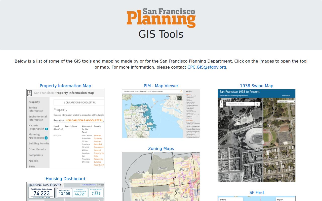
A ZIP code directory search should narrow a known record, not replace a name or address. First verify the complete mailing address through USPS. Then place the situs into PIM, save block and lot, and inspect the ZIP Codes layer. For a name-linked source, use a portal whose purpose and fields permit the search. The State Controller’s unclaimed-property tool accepts a name or property ID and uses city and ZIP as optional narrowing fields. PIM has a ZIP map layer but no unrestricted ZIP-wide owner or resident export.
- Verify the full address and ZIP with USPS, especially when the postal city is San Francisco but the county may differ.
- Use PIM to preserve the situs, APN, block and lot, neighborhood, and parcel geography.
- Apply ZIP as a narrowing field only in a lawful official query, such as a named unclaimed-property, business, or approved voter-file request.
- Compare the result with the source’s coverage and custodian, then move to the street-level chain when one parcel matters.
Once a ZIP narrows the area, the San Francisco street directory by address handles parcel and street work. It is more precise than treating a ZIP boundary as a row of residents.
| State Controller search field | Required? | Use |
|---|---|---|
| Last or Business Name | Yes unless using Property ID | Primary name route for an unclaimed-property claim |
| Property ID | Alternative | Direct claim identifier |
| First Name | Optional | Narrows a person-name result |
| City | Optional | Geographic narrowing field |
| ZIP | Optional | Geographic narrowing field, not a resident list |
San Francisco ZIP Maps Need Parcel Context
The PIM ZIP Codes layer is useful for seeing how a parcel sits inside broad geography, but it does not create a ZIP-wide owner directory. The assessment roll and recorded documents remain keyed to a parcel, owner, instrument, APN, or document number. A current owner may require the Assessor-Recorder counter or paid roll data. A deed search still uses party, date, type, APN, or address fields. ZIP belongs beside those keys, not in place of them.
Property tax history is also parcel based. The Treasurer and Tax Collector route is best approached with block and lot. It can corroborate a tax year, assessed amount, and payment or delinquency status, subject to the interface’s published limits. The same ZIP may include downtown offices, a transit or waterfront edge, a federal enclave, and ordinary neighborhood parcels, so the record type matters.
ZIP Filters Need a Lawful Name Query
California voter files are not open ZIP rosters. My Voter Status authenticates the voter’s own record. A file request requires an approved election, political, scholarly, journalistic, or governmental purpose, identifying information, documentation, and fee. An unidentified set of people in a ZIP or on a street is not a specific-voter request. Confidential voters and Safe at Home participants are excluded.
Other official ZIP filters have narrower uses. The State Controller search is a free lead for property held by the state after inactivity, not proof of a current address. Business data can be filtered or exported by ZIP, but a business mailing address is an affiliation clue. A ZIP code directory should keep the lawful purpose and field meaning visible beside every result.
Search boundary. A ZIP is a geographic filter. It does not prove residence, title, household membership, or county jurisdiction without an address and a source custodian.
San Francisco ZIP Boundaries and City Limits
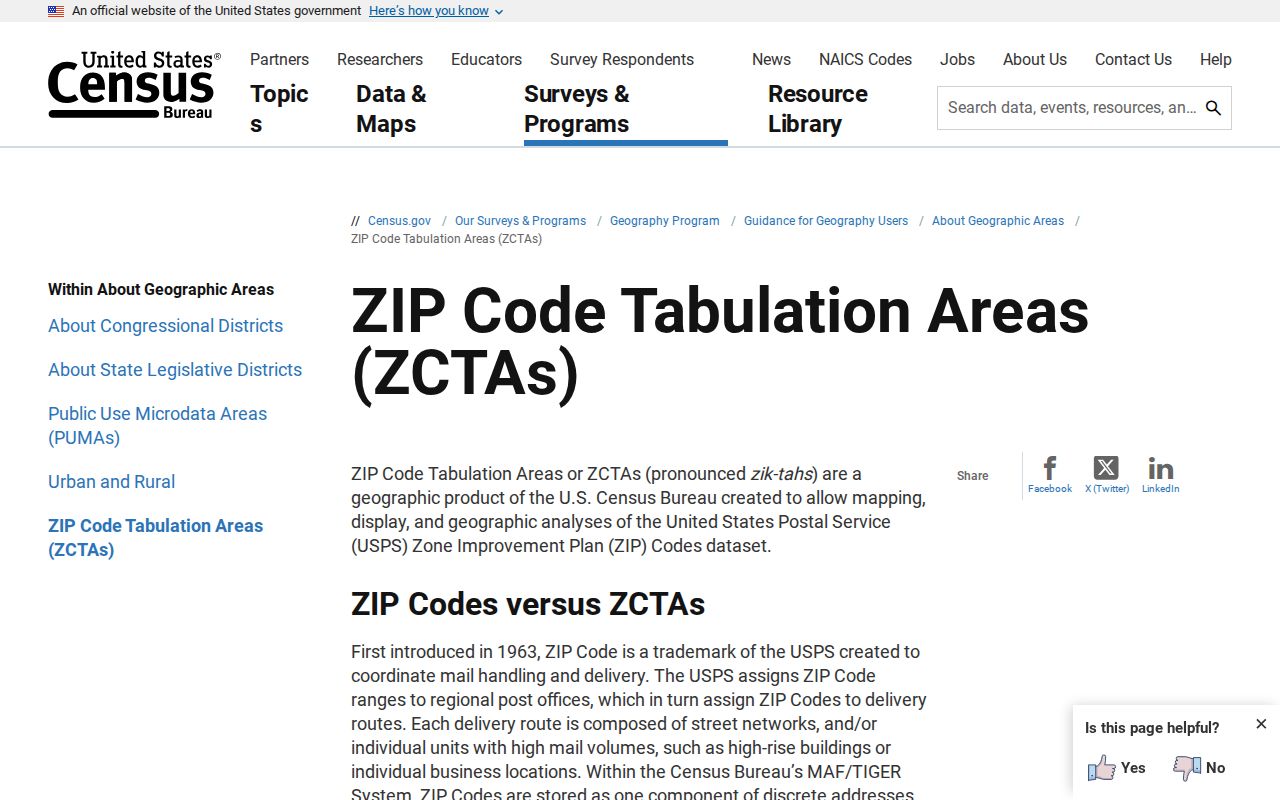
USPS ZIPs are delivery routes, not legal boundaries. Census ZCTAs are generalized statistical polygons, not USPS operational areas. A city map can show a neighborhood relationship while an agency record follows a county, federal, or parcel boundary. For a specific address, use USPS for delivery, PIM for parcel and planning jurisdiction, and the named custodian for a deed, court, voter, or vital record.
- ZIP code
- A USPS delivery route label used to sort mail. It is not a legal city or county boundary.
- ZIP+4
- An expanded delivery code that narrows a route beyond the five-digit ZIP.
- PO-box ZIP
- A code used for a post-office box or special delivery arrangement, which may not map to a neighborhood.
- Unique ZIP
- A code assigned to a single institution or facility rather than a broad residential area.
- Carrier route
- A finer delivery path inside a ZIP; it does not create a public resident roster.
- ZCTA
- A Census statistical approximation of ZIP geography used for analysis, not mail delivery.
Presidio, Treasure Island, and Mission Bay ZIP Geography
94129 marks the Presidio, where federal property and records can have a different custodian. 94130 isolates Treasure Island from mainland neighborhoods. 94158 reflects Mission Bay’s newer delivery geography and therefore has a different balance of current planning, parcel, and permit records than older city-directory runs. ZIP 94104 is unusually compact and business-heavy, while 94124 carries the historic Bayview street-renaming caution.
Market Street also separates differently oriented historic grids rather than creating a simple quadrant system. Jasper O’Farrell’s 1847 plan and later neighborhood renamings explain why an address, neighborhood label, and ZIP may not line up in the way a modern search form suggests. Preserve the exact source date, street spelling, ZIP, APN, and jurisdiction when building a historical record.